he public inquiry opened on August 3 into the plan meant to organize the urbanization of Nador West Med’s hinterland closed on September 3, Le Desk reports, having consulted the file submitted by the Agence urbaine de Nador-Driouch-Guercif.
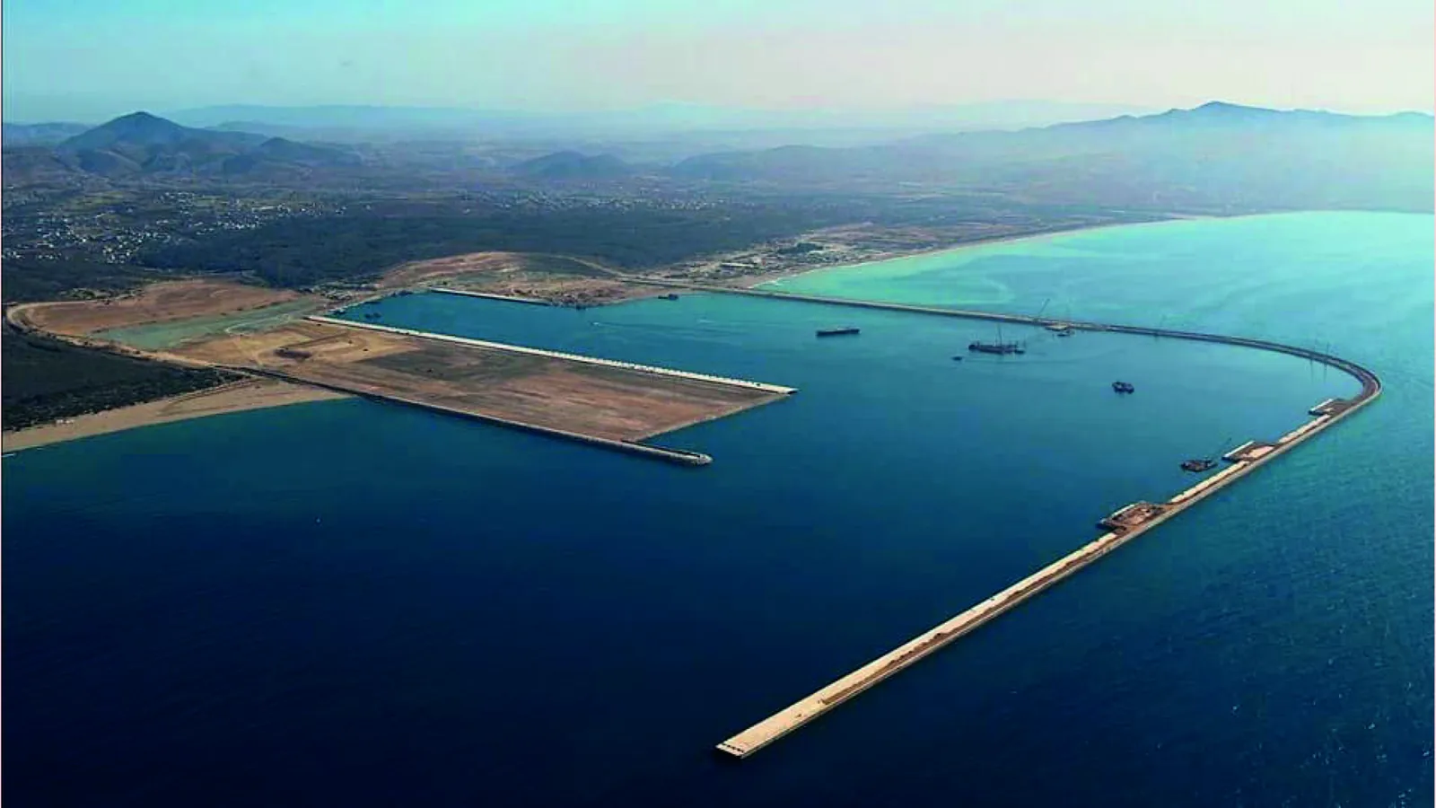
The draft sectoral development plan covers 357 hectares in the commune of Iaazzanene, west of Nador. The paper describes new neighborhoods, a logistics zone, public facilities and land reserves.
The stake is one of timing as much as zoning: the port is due to enter commercial service in the fourth quarter of 2026, and it is that deadline which governs the preparation of the land behind it.
What remains is municipal deliberation and approval, whose length will decide whether the neighborhoods arrive before the ships or long after.
Photo: Houssain tork, CC BY-SA 4.0.
Le Desk — « L’arrière-pays de Nador West Med ouvert à l’urbanisation sur 357 hectares », 3 September 2026.